Mitre Peak at a glance
Before the deep dive, here's the mountain in numbers — height, name, rock type and the climbing record all in one place.
| Detail | Fact |
|---|---|
| Height | ~1,683 m (also cited as 1,690–1,692 m by tourism operators) |
| Māori name | Rahotu |
| Named by | Captain John Lort Stokes, HMS Acheron, March 1851 |
| Why "Mitre" | Resembles a bishop's ceremonial mitre hat |
| Number of peaks | Five closely grouped summits along a narrow ridge |
| Rock type | Fiordland gneiss, diorite and granite |
| First ascent | J.R. Dennistoun, 13 March 1911 |
| Location | South shore of Milford Sound, Fiordland National Park |
Other Ways to Experience Mitre Peak
Seeing Mitre Peak from the water is just the start. Consider pairing your Milford Sound cruise with a small-boat sailing that noses closer to the shoreline, a scenic helicopter flight with an alpine landing above Fiordland National Park, a Doubtful Sound wilderness cruise for the quieter alternative fiord, or a Lake Wakatipu cruise back in Queenstown. Browse a few hand-picked experiences below before you book.
Geography and geology
Mitre Peak stands on the south shore of Milford Sound / Piopiotahi, deep inside Fiordland National Park in the southwestern South Island. Te Anau sits around 119–121 km away by SH94; Queenstown is roughly 288–291 km.
The rock is hard, ancient crystalline basement — mainly gneiss and diorite with some granite, part of a plutonic complex intruded somewhere between 500 and 150 million years ago when this part of Zealandia sat on the edge of Gondwana. That strength is what lets the mountain hold a near-vertical face over a kilometre high.
Mitre Peak was sculpted by glacial erosion during the Ice Ages, when rivers of ice up to 2 km thick gouged out the deep, steep-walled fiord trench. When the ice retreated and the sea flooded the valley, the ocean rose around the peak's base — and because Milford Sound is very deep right up to the shoreline (up to ~265 m at its deepest point), Mitre Peak actually continues below sea level almost as steeply as it rises above it. Snow dusts the summit in winter (roughly June–September) after cold snaps, though it doesn't hold permanent snowfields.
Naming and history
Captain John Lort Stokes of the Royal Navy survey vessel HMS Acheron gave the peak its English name in March 1851 while anchored in Milford Sound during hydrographic charting. Stokes had previously served on HMS Beagle alongside Charles Darwin, and thought the peak's profile — seen from the south — resembled a bishop's mitre.
The Māori name, Rahotu, is recorded by ethnographer Herries Beattie as commemorating "a notorious man of the old time." In the wider Ngāi Tahu tradition, the fiord Piopiotahi itself is said to have been carved by the atua Tū-te-raki-whānoa with his adze.
Climbing history: the first attempt came in 1883 from Invercargill artist Samuel Moreton and "Milford hermit" Donald Sutherland, who reached the Mitre Range but not the summit. The first successful ascent was made by J.R. Dennistoun on 13 March 1911, with porter Joe Beaglehole stopping around 300 m short. Donald Sutherland disputed the claim at the time, but in 1914 second-ascensionists found Dennistoun's handkerchief in the summit cairn, confirming it. Six recognised routes exist today, all requiring a boat or kayak crossing to Sinbad Bay followed by technical climbing.
Why it's so iconic
Mitre Peak is widely regarded as New Zealand's most photographed mountain. Its fame comes down to a near-perfect triangular silhouette, its sheer rise straight from sea level, and the way it mirrors in the fiord on calm mornings. It dominates the view from the head of the fiord and appears on countless postcards and tourism campaigns — with over a million visitors passing through Milford Sound each year, it's one of the most-seen natural landmarks in Oceania.
Here's the optical illusion: from the standard viewpoint at the head of the fiord, Mitre Peak looks like one sharp pyramid. In reality it's five closely grouped summits along a narrow ridge — and the highest point on that ridge (~1,721 m) isn't even the named summit.
How to see Mitre Peak
From a cruise boat (best for most visitors)
Every Milford Sound day cruise leaves from Freshwater Basin and sails the length of the fiord past Mitre Peak. The classic "mitre" profile is best seen near the head of the fiord; as the boat moves toward the Tasman Sea, the five-peak structure becomes more apparent. Smaller boats can nose closer to the south shore and the waterfalls beneath the peak.
Milford Sound: Boutique Small-Boat Cruise
A small, award-winning vessel with limited passengers that edges closer to Mitre Peak's base and the waterfalls beneath it — a more intimate way to take in the mountain than a standard large-boat sailing.
From $98 per person · 4.83★ (1,016 reviews)
Check availability & pricesFree cancellation up to 24 hours before · Reserve now, pay later
By kayak
Rosco's Milford Kayaks — New Zealand's longest-established sea-kayak operator, and the only one permitted on the outer fiord — guides trips that paddle past the base of Mitre Peak toward Stirling Falls. At water level, the mountain feels genuinely towering; early trips catch the calmest water and the best reflections.
By air
Scenic fixed-wing flights and helicopters depart Milford Airport and Queenstown, flying past and above Mitre Peak and the surrounding peaks. Many helicopter trips add an alpine or glacier landing for photos — though landing on Mitre Peak itself isn't offered as a standard product.
Queenstown: Milford Sound Cruise & Helicopter Alpine Tour
A scenic helicopter flight over Fiordland National Park combined with a Milford Sound cruise past Mitre Peak, plus an alpine or glacier landing for photos you can't get from the water.
From $765 per person · 4.90★ (175 reviews)
Check availability & pricesFree cancellation up to 24 hours before · Reserve now, pay later
From land
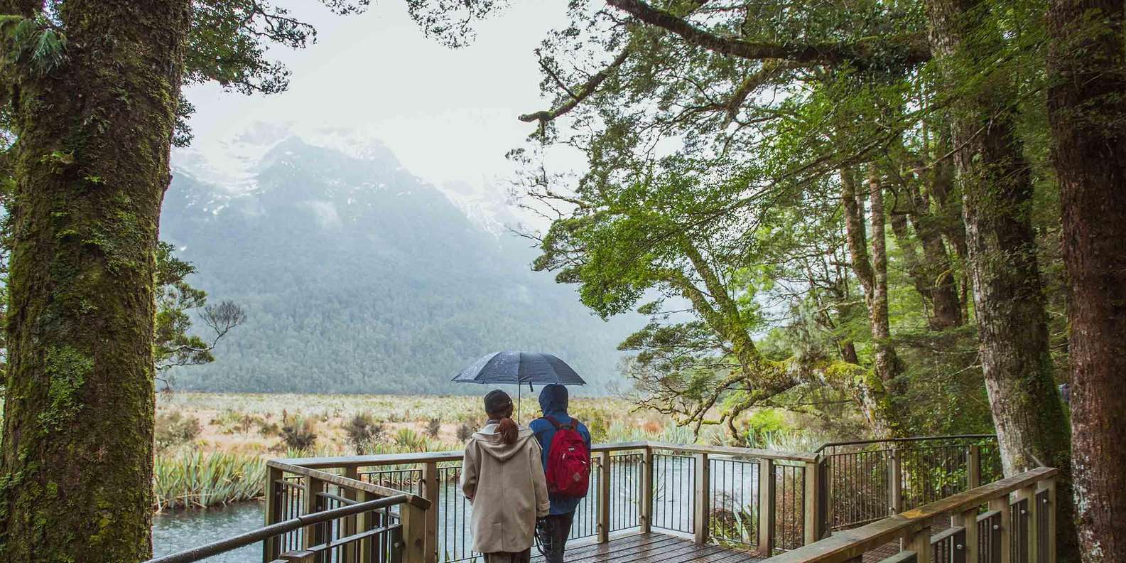
Milford Foreshore Walk: an easy, ~400 m wheelchair-accessible loop from the main car park, offering some of the best free views of Mitre Peak — best at golden hour. Milford Sound Lookout Track: an elevated view near Donald Sutherland's grave behind the café. Mitre Peak is also clearly visible from the wharf and terminal area, so you don't need to be on the water to appreciate it.

Seeing it up close: cruise operators
All Milford Sound operators sail past Mitre Peak on the same core route, since no company has exclusive access to any part of the fiord — the difference is boat size, crowd levels and how close to shore a vessel can safely get. Smaller-capacity boats generally nose nearer to the base of the peak and its waterfalls, while larger vessels trade that intimacy for steadier decks and more indoor space. For a full side-by-side of every boat and package, see our Milford Sound tours comparison.
Photography guide
- Best light: early morning for calm water and mirror reflections; late afternoon in autumn (March–April) for golden light on the rock face.
- Mirror reflection shot: from the Foreshore Walk at mid-to-high tide on a calm morning — get low to include foreground water.
- On a moving boat: use a faster shutter speed, brace against the rail, and shoot from the bow or the side facing the peak; a wide lens (16–35mm) and a waterproof cover both help.
- Best season: locals favour August–September for clearer weather and snow-capped peaks with fewer crowds, but pack for rain year-round.
- Drones: effectively banned — Milford Sound is a DOC "red zone," and flying without a permit is illegal.
In popular culture
Milford Sound's surrounding peaks stood in for the "Canadian Rockies" in X-Men Origins: Wolverine (2009), and the wider Fiordland region appears throughout The Lord of the Rings and The Hobbit film locations. Rudyard Kipling is widely (if not always verifiably) credited with calling Milford Sound the "Eighth Wonder of the World" — and Mitre Peak remains the single most-used image in that legacy, appearing in countless tourism campaigns, calendars and travel features.
Height figures vary by source: LINZ/NZ Geographic Board records ~1,683 m, while tourism operators commonly quote 1,690–1,692 m. Visitor numbers and marketing claims (such as "New Zealand's most photographed mountain") are widely repeated but not formally certified.